- 27 juil, 2020
-
Un parcours qui vous fera découvrir un patrimoine particulièrement ancien
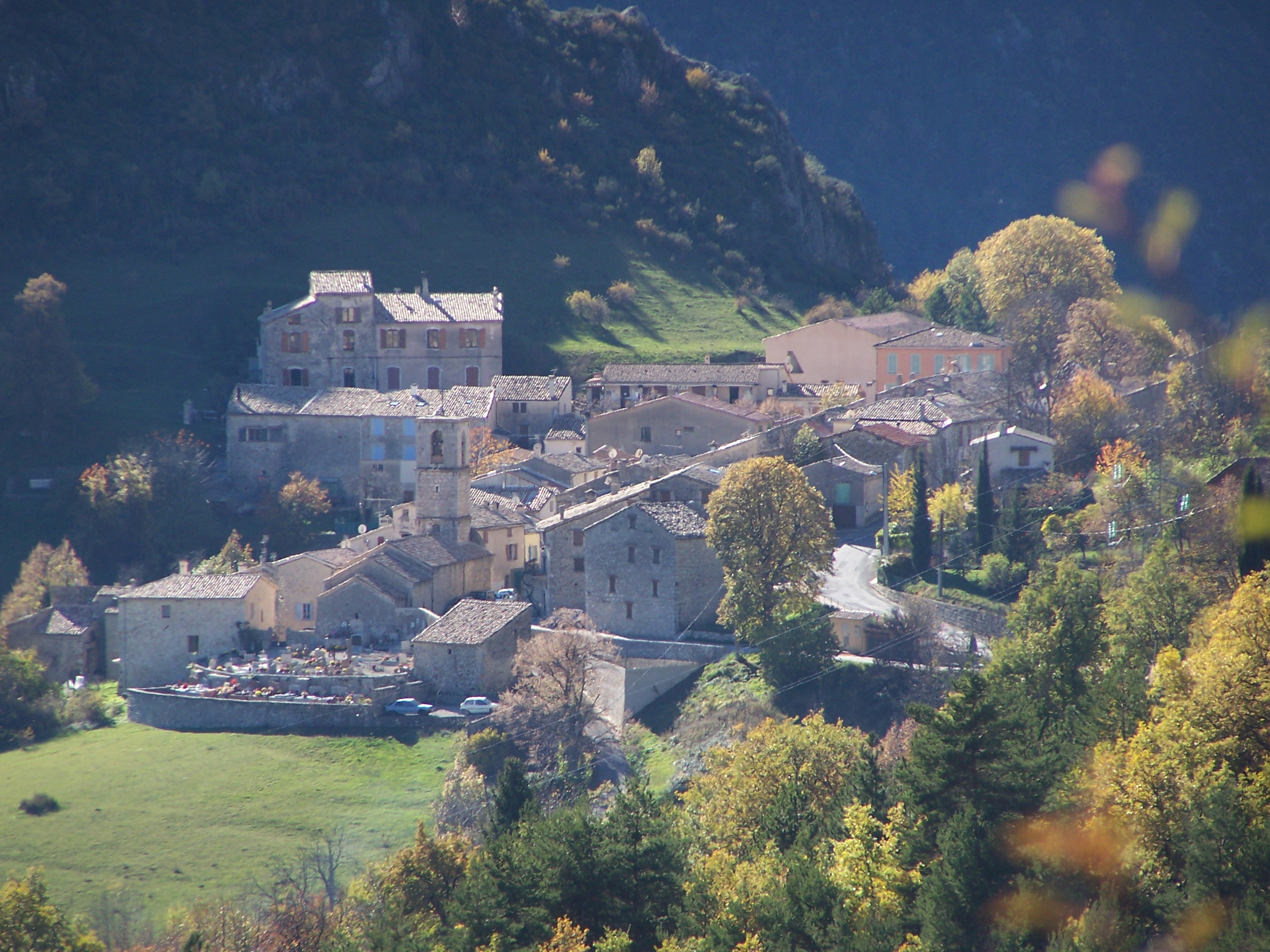
Perché à 1010 m d’altitude, Briançonnet domine la vallée du « Chanan » qui constitue, en fait, une partie du bassin versant de la rivière Estéron. Ancienne cité gallo-romaine des premiers siècles de notre ère. Briançonnet est une des 45 communes du Parc naturel régional des Préalpes d’Azur.
Premier parcours handi-géocaching du Parc régional des Préalpes d’Azur accessible en fauteuil (Crée par Jean-Luc Manneveau, Les Geophiles & Anna Filippot, Espace Numérique Citoyens des Monts d’Azur (CAPG))
Télécharger la feuille de route (en français)
Perched at an altitude of 1010 meters, Briançonnet over looks the Chanon Valley which in fact makes up a part of the sloping basin of the Esteron river. An ancient Graeco-Roman city dating from the first centuries of this era, Briançonnet is one of 45 counties that make up the Regional National Park of the Préalpes d'Azur. This journey will lead you to discover a history particularly ancient( you will be surprised to realise just how ancient!) With our extensive experience in welcoming a public with varied handicaps we wanted to create the first 'handi-géocaching' trail that was wheel-chair friendly. The county participated in the creation of this trail.